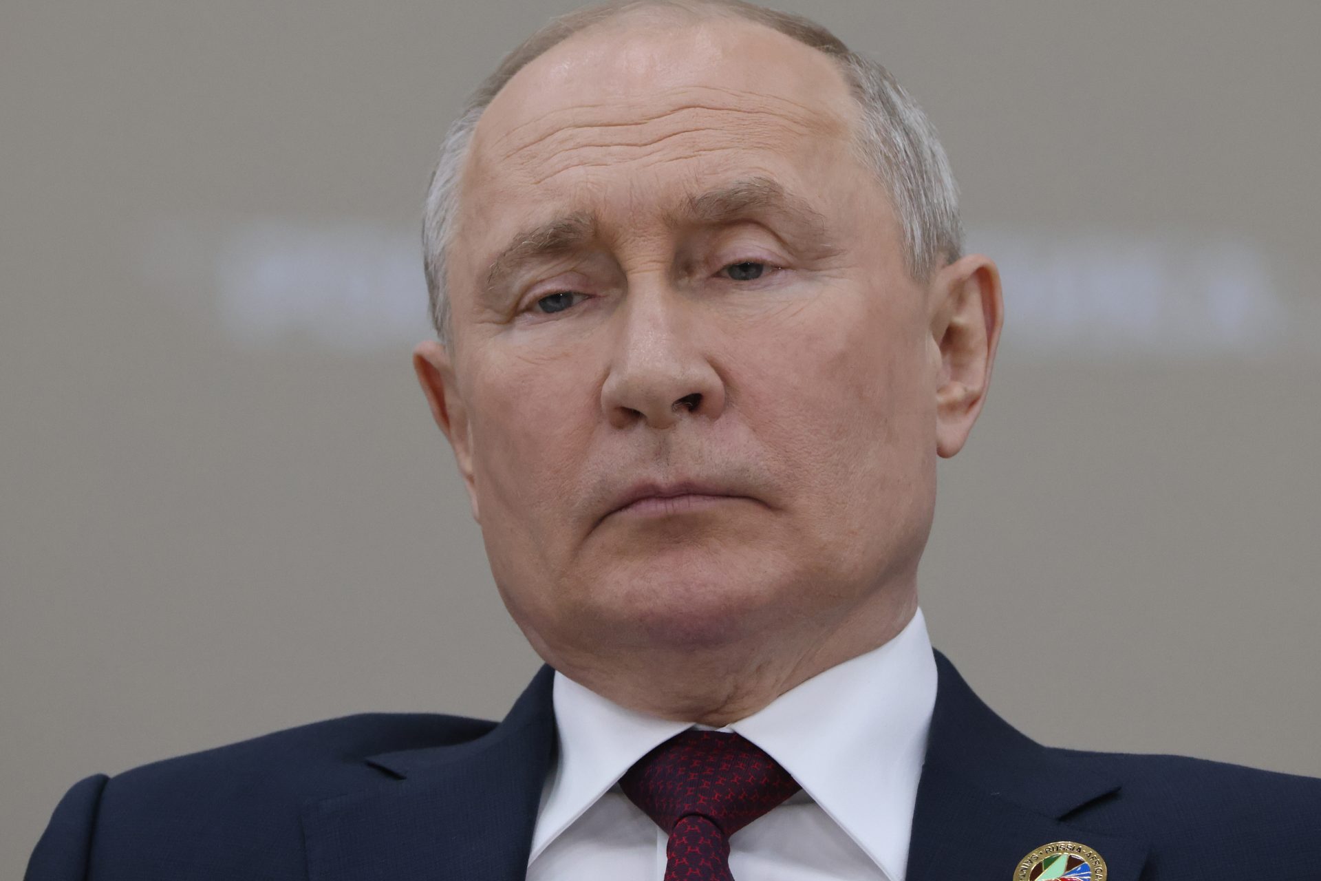
A small map adjustment sparks Putin's anger
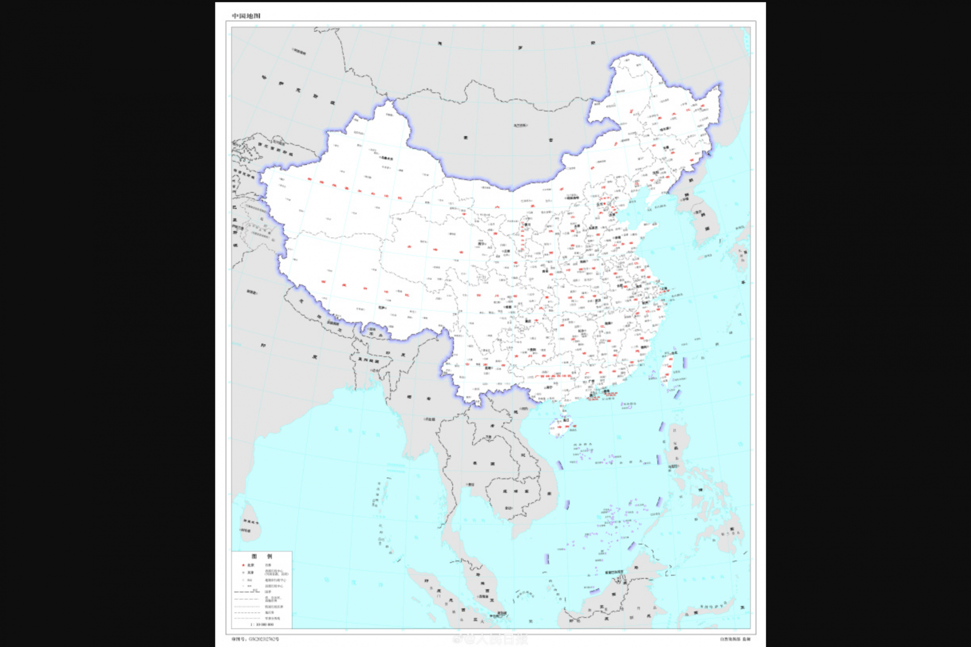
In August 2023, China issued a revised official geographical map, intensifying regional tensions in East Asia and the Pacific. The new map expands China's territorial claims, impacting several neighboring nations, among them Russia.
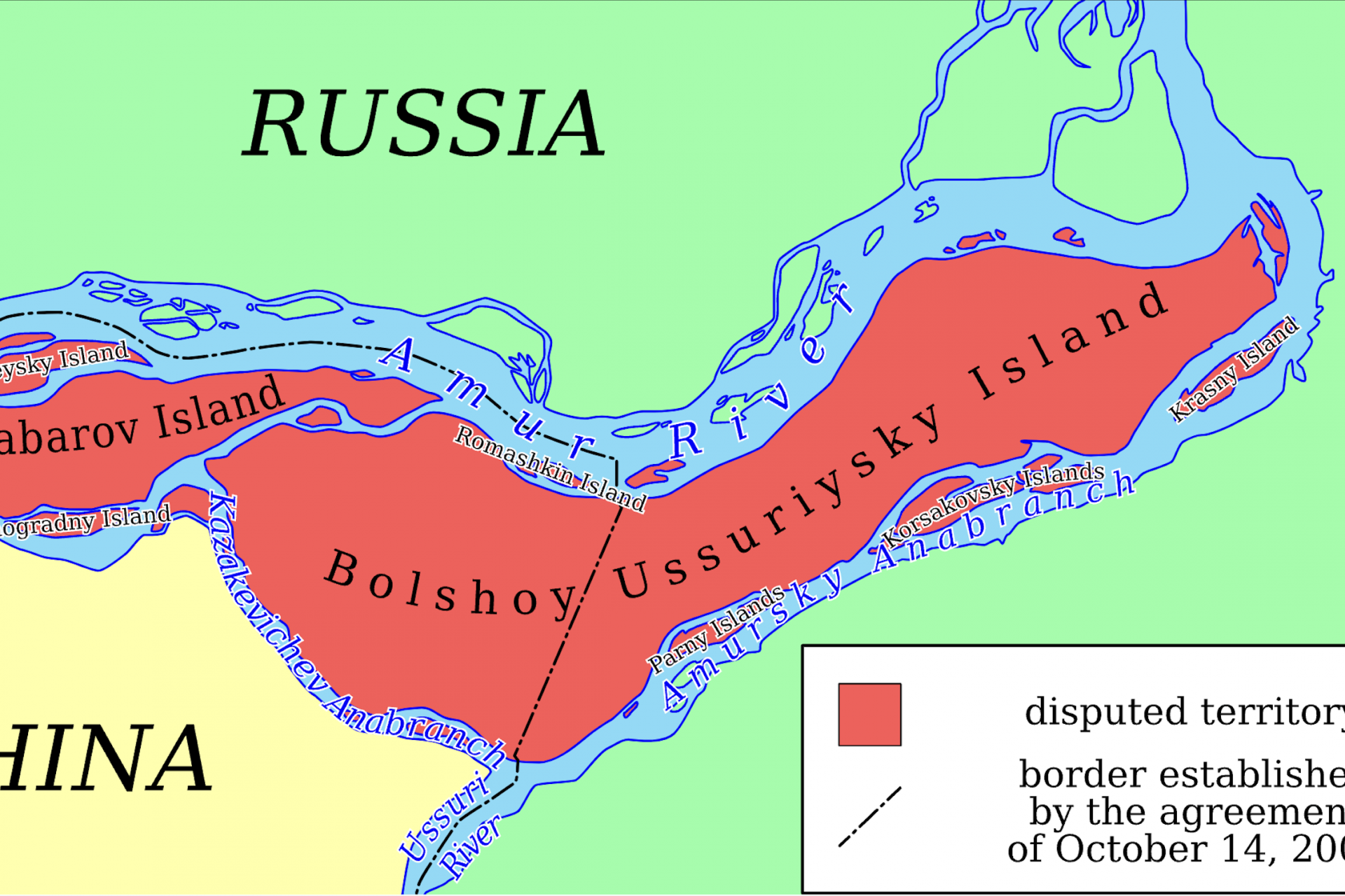
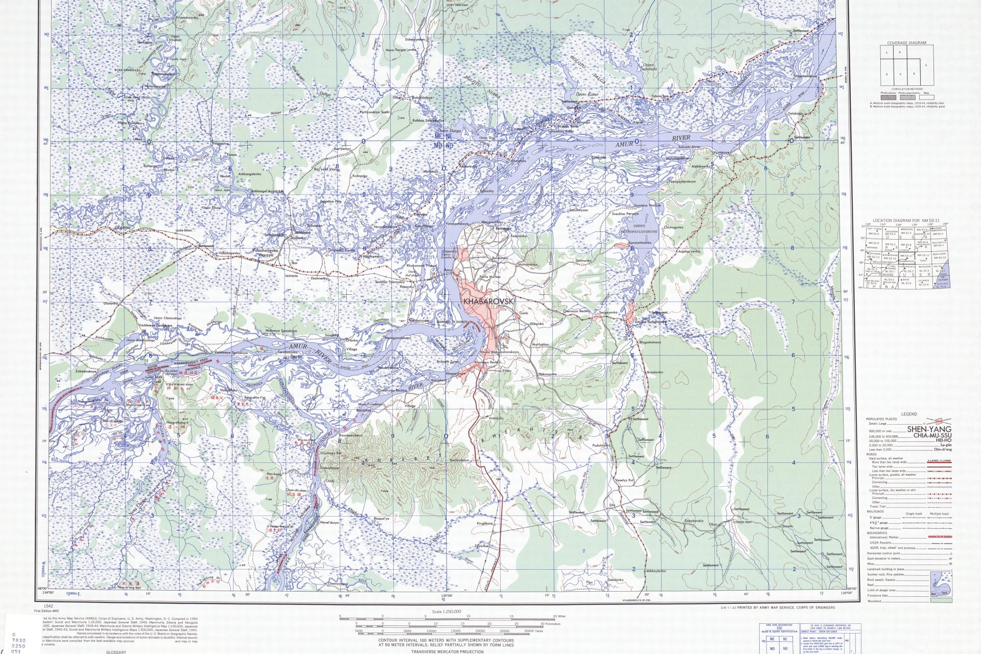
While the updated map upset several countries, what turned heads in Moscow was the claim Beijing was making over territory on Bolshoi Ussuriysky Island that had once been contested but was worked out by the two nations.
Photo Credit: Twitter @globaltimesnews
Ownership of Bolshoi Ussuriysky Island had been in dispute between Russia and China until the claims were resolved in 2005 when the island was partitioned according to the Indian online magazine Outlook.
Photo Credit: Wiki Commons By Insider - Own Eork, CC BY-SA 3.0
However, China’s new map, which was first published by the Chinese Ministry of Natural Resources on its website, showed full ownership over Bolshoi Ussuriysky Island, a move that likely didn't help ties between the two nations, according to George Mason University’s Mark Katz.
Katz is a professor at the Schar School of Policy and Government, and he explained to Newsweek at the time that both governments pay close attention to the official maps released by the other nation.
"The Kremlin very definitely pays close attention to Chinese maps—especially official ones—claiming that Russian territory actually belongs to China," Katz explained.
Katz went on to add that even if the move upset Vladimir Putin there was little he could do about it since Russia was in such a precarious position at the time, cut off from most global trade.
“[Putin] is not in a position to loudly complain about this since Moscow has become so dependent on economic relations with China as a result of Western sanctions,” Katz said.
The Kremlin didn’t initially comment on the new map but officials from the Russian government eventually broke their silence on the change saying the dispute had long been settled.
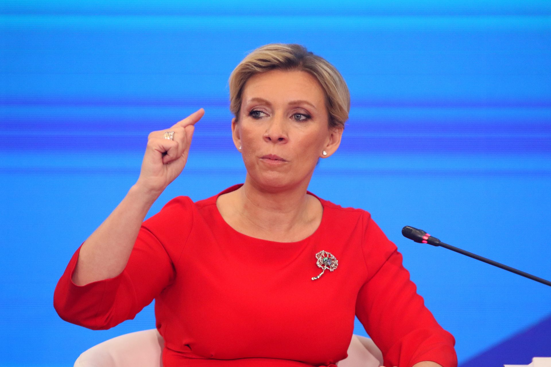
"The Russian and Chinese sides adhere to the common position that the border issue between our countries has been finally resolved," Maria Zakharova, a spokeswoman for the Russian Foreign Ministry, said in a statement that was translated by Newsweek at the time it was made.
“Its settlement was marked by the ratification in 2005 of the Supplementary Agreement on the Russian-Chinese state border on its eastern part, according to which Bolshoi Ussuriysky Island was divided between the parties,” Zakharova continued.
Photo Credit: Wiki Commons By Army Map Service (AMGU), Corps of Engineers 1950
Zakharova added that a demarcation of a common border had been established along the entire length of the island in 2008, adding that both Russia and China had confirmed “the absence of mutual territorial claims” since at least 2001.
However, the updated map was said to have been signed off on by authorities in Beijing and was released by the country’s Ministry of Natural Resources according to Newsweek.
A separate Newsweek report noted that Chinese officials have been “unapologetic” in regard to the new map and one senior official at China’s Ministry of Natural Resources said: “A correct national map is a symbol of national sovereignty and territorial integrity.
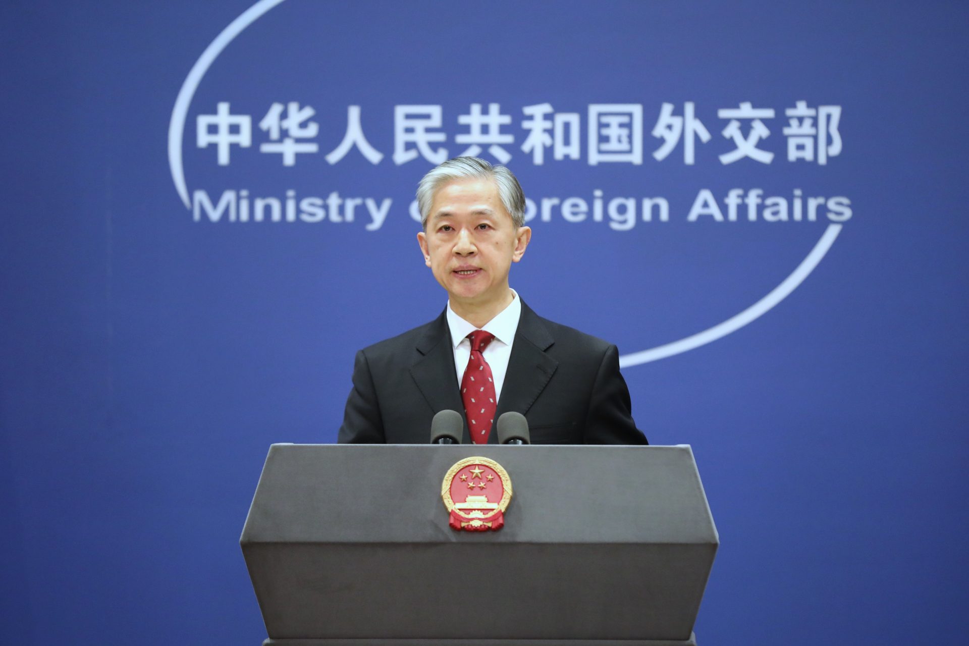
Chinese Foreign Ministry official Wang Wenbin said at the time that the map was a “routine practice in China's exercise of sovereignty in accordance with the law," and added: “We hope relevant sides can stay objective and calm, and refrain from overinterpreting the issue.”'
NBC News noted the Philippines, Malaysia, Vietnam, Taiwan, and India have all noted their objection to the new Chinese map. Each country has its own territorial disputes with China in a multitude of areas along the country’s border.
“This latest attempt to legitimize China’s purported sovereignty and jurisdiction over Philippine features and maritime zones has no basis under international law,” the Philippine Foreign Ministry said at the time according to NBC News.
Indian officials also expressed the most outrage over China’s new map and Foreign Secretary Arindam Bagchi said in a statement India had “lodged a complaint through diplomatic channels” against the claims laid against Indian territory on the map. “We reject these claims as they have no basis.”
More for you
Top Stories


